Testing Equipments Supplier
 ISO9001:2015 Certified ISO9001:2015 Certified


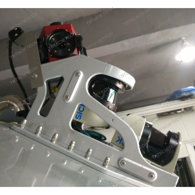
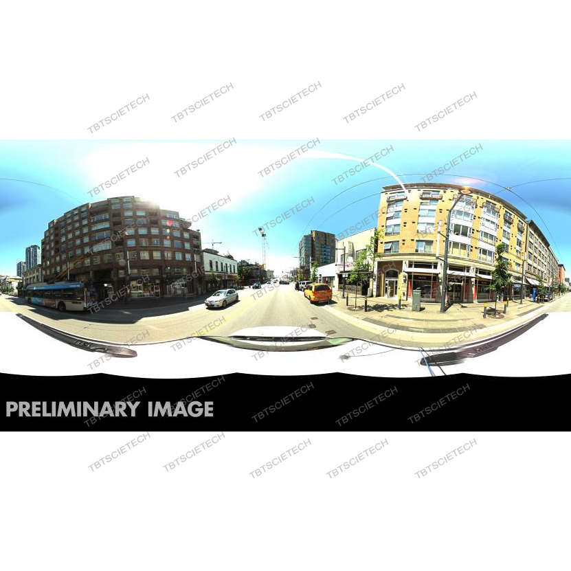


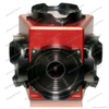
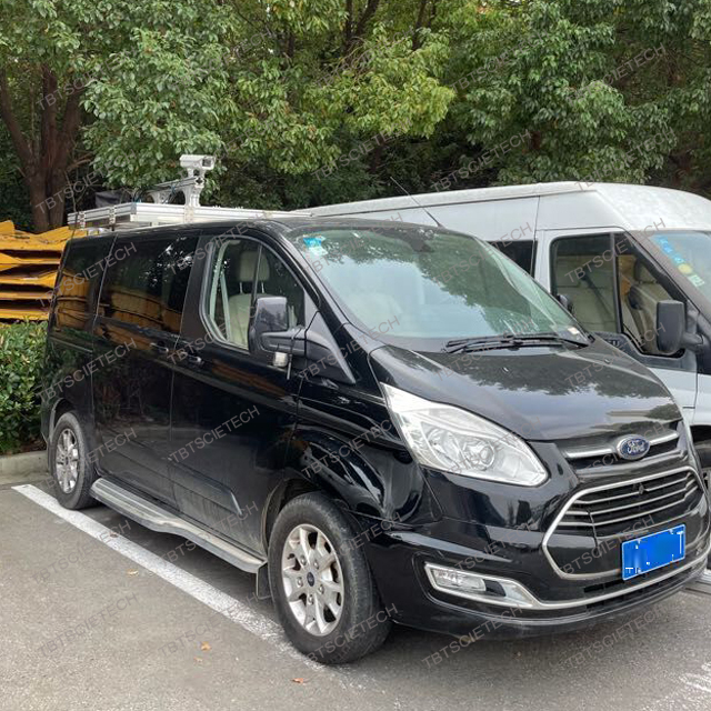
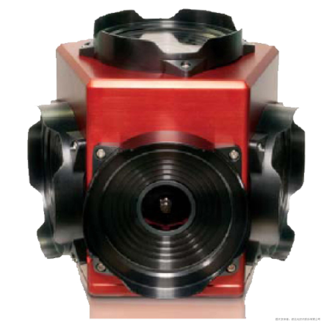
TBTLC-2 360 Row Camera use spherical panoramic technology to collect 360-degree panoramic images. The 360-degree continuous panoramic image data is collected by MMS vehicles. The principle is to assemble GPS (Global Positioning System), CCD (Video System), panoramic camera, INS (Inertial Navigation System) or dead reckoning system on the motor vehicle or other mobile carriers.
Such as advanced sensors and equipment, in the high-speed travel of the vehicle, quickly collect the spatial location data and attribute data of roads and features on both sides of the road, such as: road centerline or sideline position coordinates, target feature position coordinates, road ( Lanes) wide, bridges (tunnels) high, traffic signs, road facilities, municipal facilities, etc., data is synchronously stored in the computer, and after editing and processing, after the formation of various useful thematic data results, such as navigation electronic maps, municipal facilities Map etc.
The 360-degree continuous panoramic image data is essentially a collected panoramic sequence file. It can automatically identify the direction of the road on the panorama. Click the road logo to view the panorama of the front and rear position points. Each panorama point that constitutes the sequence can be rotated 360 degrees. 360-degree continuous panoramic images provide panoramic files along the road, and can be viewed continuously along the road.